
Leavenworth Previous Residents Sources
The right opening source depends on the date. Current county mapping gives a stable parcel key. The deed index carries ownership backward into the late twentieth century online, with a cutoff that is still changing. Street guides and city directories add named occupants for many earlier years. Census, newspapers, maps, permits, probate, and cemetery material fill different gaps. Use the coverage as a starting map, then verify the exact year and holding before drawing a conclusion about past residents.
| Source | Years Covered | Where Held | What It Shows |
|---|---|---|---|
| Recorder index/images | Older page: August 1972; 2024 update: July 1966 | Register of Deeds, Tapestry, LAREDO | Transfers, parties, dates, legal descriptions |
| City directories | First extant 1859; Gale runs 1860/61-1960 with gaps | Library, reels, 1915 digital scan | Dated names, addresses, work and household notes |
| Leavenworth Times | 1857-present microfilm | Public Library | Notices, obituaries, property and address events |
| Sanborn maps | 1883-1949 editions; 1961 inventory | Library, KU, KSHS, LOC | Building footprint, use, materials, lot context |
| Federal census | Released through 1950 | NARA and library databases | Household snapshot at enumeration |
| City permits | Public map since 2019 | City Public Works and Clerk | Project date, type and status |
| Burial index | Collection-specific | County GIS and historical society | Death, burial and kin clues |
Start with the recorder for a recent owner trail. For an early twentieth-century household, begin with the street guide nearest the target year, then pair it with census and newspaper evidence. A Sanborn map dates the building, not the people inside it.
Fix the Leavenworth Address First
Enter the modern address in county GIS and record its formatted PID, search-form PID, QRID, subdivision, lot, block, ZIP, and city-limit status. A mailing-city name or street number can change while the legal parcel remains tied to the same land. Compare the Appraiser description with the recorder's legal text because those descriptions can differ after a split, combination, or new plat.
No verified Leavenworth-wide renaming or renumbering schedule was located. Do not invent one to explain a gap. Use historical maps, the numerical street guides, Sanborn sheets, neighboring block numbers, and the lot or legal description. The 1903 directory's street-address arrangement and 1915 Polk Street and Avenue Guide are strong bridges when the modern display does not match an old entry.
The PID itself has a local quirk: county GIS search removes punctuation from the formatted parcel number. Save both versions, since the search string and recorded legal description serve different purposes.
Trace Leavenworth Owners Backward
A chain of title is the sequence of recorded transfers for one legal parcel. Begin with today's appraisal display only as a name clue. Find that owner's acquisition instrument, read both parties and the legal description, then search the seller as a prior buyer. Repeat the cycle while the parcel identity stays consistent.
- Capture the current PID, legal description, lot, block, and owner display from GIS and the Appraiser.
- Find the latest deed or transfer in the Register of Deeds search. Save its image or exact book/page.
- Read the grantor and grantee. Search the seller under name variants, trusts, estates, and businesses to locate an earlier acquisition.
- Repeat backward. When the name index stops, try the legal description, subdivision, image reference, exact book/page, office, or vendor route.
- Pair each transfer date with a nearby directory, census, newspaper, or probate clue before naming previous residents.
- Grantor
- The party transferring an interest in a recorded instrument.
- Grantee
- The party receiving that interest.
- Chain of title
- The linked sequence of transfers affecting the same property.
- Legal description
- The recorded land identity, often more durable than a street address.
A deed proves a recorded transaction, not that the grantee moved into the building. Keep “owner” and “resident” as separate findings.
Leavenworth Deed Index Cutoffs
Two official county sources report different online boundaries. The older document-search page says the name and legal-description index goes back to August 1972, through Book 427 Page 168. The county's May 2024 newsletter says the back-indexing project reached July 1966 and that images could be searched by name, date, and document type. This is a timely access change, so confirm the live boundary with the recorder.
The May 2024 recorder update is preserved below.
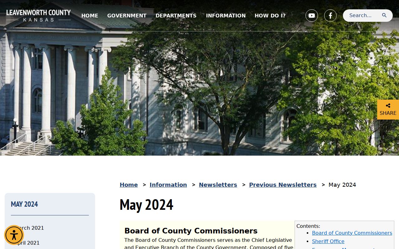
When an online search fails, use exact book/page, inspect at 300 Walnut Street, use Fidlar Tapestry, or request a document by email or writing. The county research notes a $7 emailed-document route, while Tapestry lists an $8.95 search fee plus $1 per printed page. Verify charges before ordering.
Note: A negative portal result before the confirmed live cutoff is an access gap, not proof that no transfer was recorded.
Leavenworth Address Transfer Forms
The recorder's forms help identify instrument types that may interrupt a simple sale-to-sale trail. They include quitclaim deeds, joint-tenancy forms, transfer-on-death deeds, exemption choices, a mortgage cap affidavit, and the Sales Validation Questionnaire. Search those document types separately when a surname vanishes or an estate enters the chain.
The Register of Deeds forms page appears here as an official route.
A blank form does not establish that a filing occurred. Return to the index or recorder for the recorded instrument, date, parties, and legal description.
Leavenworth Past Residents by Year
Owners are only half the house story. Leavenworth directories can name residents, boarders, roomers, occupations, employers, and street addresses. Beginning in 1903, the numerical street organization supports address-first research. The 1915 Polk scan has its street guide on pages 361-445, then separate sections for Bain City, Lansing, Soldiers' Home, county taxpayers, and businesses. Always verify which section supplied the name.
- Choose the nearest available directory before and after a deed date.
- Search the numerical street guide, then read each person's alphabetical entry and abbreviation key.
- Compare the household with the nearest released federal census. The latest public census is 1950 under the 72-year rule.
- For 1915, add the Kansas state census, which records the household as of March 1.
- Resolve a missing person with newspaper notices, name variants, spouse or parent, occupation, and the next directory year.
The complete edition and reel discussion belongs to the Leavenworth city directories collection. For address history, extract only the dated household clue needed to support the chain.
Map Earlier Leavenworth Buildings
Sanborn fire-insurance maps answer whether a structure existed, its footprint, construction, use, and nearby streets at a mapped date. Leavenworth editions include 1883, 1889, 1897, 1905, 1913, 1924, later 1924-1949 updates, and a 1961 microfilm inventory. KU provides early digital material, while the Library of Congress holds a later item record that was not available online during research.
The KU 1905 Leavenworth Sanborn sample appears below.
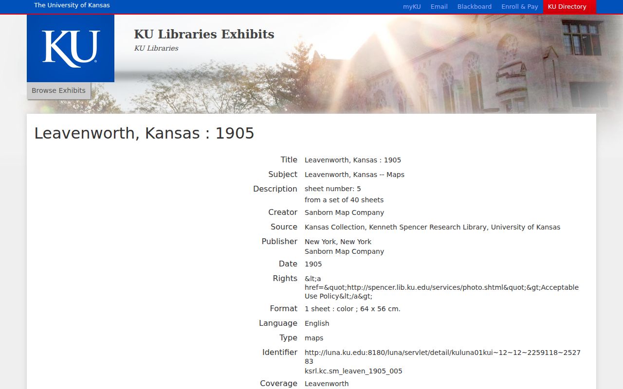
Match the sheet to the legal lot, street guide, and neighboring buildings. A footprint may confirm continuity across address displays, but it cannot name the previous residents.
Leavenworth Records Survived Fire
The earlier courthouse burned on March 22, 1911, after faulty wiring ignited the building. Historical accounts say vaults helped protect recorder and probate material. Treat that as local records history, not a claim that every book survived without loss. The present Classical Revival courthouse dates to 1911-1913.
This story explains why an office or bound-book fallback matters. Leavenworth County road records reach back to 1855, and recorder, survey, probate, and historical sources may preserve different parts of an address trail. If one index has a gap, ask the correct custodian about books, images, plats, or case files instead of stopping at the web search.
Protect a Leavenworth Deed Trail
The county's free Property Fraud Alert sends email, phone, or text notice when names are indexed against land records. Subscribers should include every deed name plus trust or business variants. The alert does not decide whether a filing is valid. It is an early warning, not title proof.
The Property Fraud Alert page reports more than 30 attempted or completed fraud cases since January 2021 and describes expanded mortgage-reassignment name indexing.

For house history, alerts help preserve the present end of the deed chain while older research continues backward.
Close Leavenworth Household Trails
The Leavenworth Times on library microfilm reaches from 1857 to the present. Search near a deed, move, marriage, death, permit, or directory date. No complete public obituary index was verified, so the fallback chain is newspaper microfilm, historical-society vertical files, funeral-home records, cemetery material, and Kansas newspaper databases.
Probate files belong to the District Court, not the County Clerk. A file may identify heirs, property, and estate actions, but it is not a complete address history. Cemetery data may close a biographical trail: the county burial index has roughly 50,000 names from about 90 sites, while Greenwood's original records are thought lost and later indexes are partial. Those gaps require cross-checking a marker, index, notice, and court record.
The Steiger Research Center offers maps, photographs, preservation surveys, directories, newspapers, family papers, and a paid research service by appointment. Its request form lists a $25 initial fee, then $20 per hour, with a four-hour genealogy minimum suggested and a usual six-to-eight-week estimate for fee-backed requests. The Leavenworth Public Library local-history room is the free first stop for reels and maps.
Lawful use. Research previous residents for house history, family history, estates, and personal curiosity. Do not track, harass, threaten, or harm a living person.