
Walk a Leavenworth Street
A Leavenworth street directory search works as a chain, not one query. County mapping establishes the parcel and its official identifiers. Appraisal and tax records provide dated owner or mailing fields. Recorded instruments show transfers, while voter material and historical directories may add carefully limited evidence about people. Keep the source date beside each fact. A person named on a deed may have sold the property, and a mailing address may belong to a trust or agent.
- Enter the street address or intersection in the Leavenworth County Interactive GIS. Record the site address, PID, lot, block, and city-limit layer.
- Open the parcel in the Public Parcel Search. Treat owner and mailing fields as appraisal data, not a household list.
- Browse nearby parcels to see the street, subdivision, tax unit, and geographic layers.
- Search the displayed name and legal description in the deed index. Save each party, instrument type, date, and book/page.
- For old occupancy, compare the address with the 1903-and-later street guides, 1915 Polk guide, census, and newspapers.
This order separates ownership from residence and gives a fallback when a portal misses an address. The stable lot, block, legal description, or PID can reconnect records even when street display and spelling vary.
Leavenworth Street Search Fields
The county quick guide documents more than an address box. It accepts intersections, a PID without punctuation, and a QRID beginning with R. The GIS workflow also supports owner-name searches with at least three characters. Once a match highlights under Leavenworth Geocode, click the parcel and view its details. Layers add context, but zoning, flood, school, fire, utility, and political boundaries do not identify residents.
| Field | Input | Use |
|---|---|---|
| Address | Street address | Highlights a nearby parcel |
| Intersection | Two streets | Centers a street browse |
| PID | Digits without punctuation | Opens a specific parcel |
| QRID | R plus 4-6 digits | Uses a quick-reference ID |
| Owner | At least 3 characters | Searches owner display |
| Layers | Map toggles | Adds parcel and district context |
The county example shows how a formatted PID loses punctuation for searching. Save both forms because the recorder's legal description is a different identity system. If a plat link fails, retain the parcel details and use the county plat or survey route.
The interactive map quick guide below documents the official workflow.
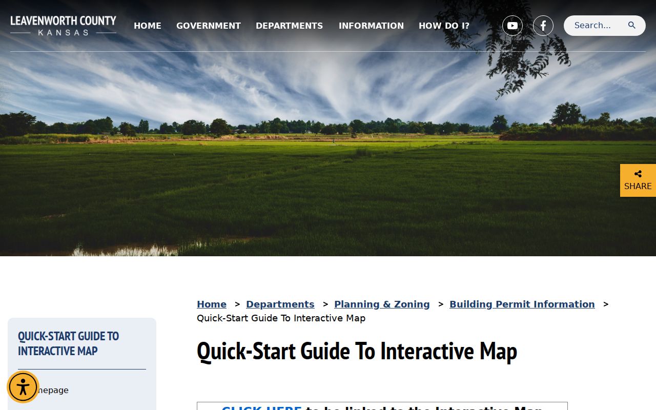
Its address-to-parcel steps make the street directory reproducible instead of guesswork.
Leavenworth Records by Street
No official record is a full household roll. The Appraiser maintains valuation and mapping data, the Treasurer publishes tax accounts, and the Register of Deeds holds recorded instruments. City Public Works posts permit reports, while the County Clerk administers voter records under Kansas access rules. A sound Leavenworth street directory keeps those roles distinct.
| Record | Keeper | Street Evidence | Access |
|---|---|---|---|
| Parcel | County Appraiser | PID, site/mail fields, lot/block | Portal and office |
| GIS map | County GIS | Adjacent parcels and layers | Viewer and downloads |
| Tax account | County Treasurer | Name, tax ID, year, address | Online tax search |
| Deeds | Register of Deeds | Parties, dates, book/page, legal text | Index, vendor, office, email |
| Permits | City Public Works | Project date, type, status | Reports or KORA request |
| Voter material | County Clerk | Limited dated registration evidence | Individual lookup or supervised request |
County and city geography overlap without sharing custody. A parcel may have a Leavenworth postal address while lying outside the city. Confirm the municipal layer before asking for a city permit file.
Read Leavenworth Street Tax Accounts
The county tax search accepts any mix of last or company name, tax ID, tax year, address number, prefix direction, direction, street, and ZIP. The year options were not exposed during research, so do not assume a range. Begin with few fields, then confirm a result against the parcel PID.
The tax screen below finds an account after the GIS step. It does not certify a current household.
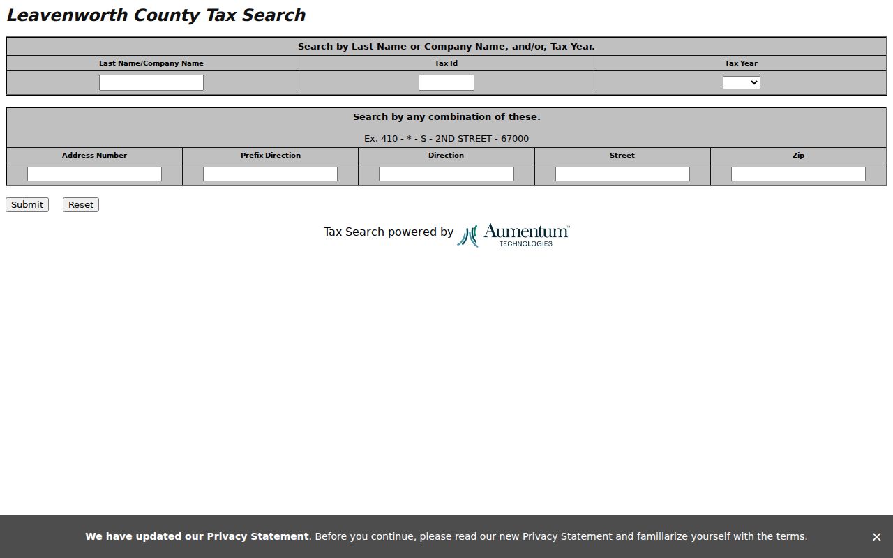
A billed name may be a trust, company, agent, or past owner. Label it as an account name and date the result.
Note: Annual revaluation and field inspection at least every six years do not mark the date when a resident moved.
Leavenworth Site and Mail Fields
The official Eagleview parcel-layer schema exposes separate OwnerName, SiteAddr, and MailAddr fields, along with PID, acreage, subdivision, lot, block, school district, tax unit, and links. This distinction is crucial for any street directory. The site address locates the land. The mailing field states where appraisal or tax correspondence goes. The displayed owner may be an individual, trust, company, estate, or another legal interest. None of these fields identifies every person living at the site.
Record each field under its official label and add the date retrieved. If site and mail match, describe that as a match in the county display, not as proof of occupancy. If they differ, do not copy the mailing address into a resident claim. Follow the PID to the deed and compare its legal description. A recent deed can explain a new owner name, while an older tax account may still show a prior billing party.
The portal disclaimer says the data were developed for valuation, shows current-year appraised values with tax information based on the prior assessed value, and disclaims guarantees. It also applies K.S.A. 45-230 restrictions to selling or distributing names and addresses for solicitation. Those rules travel with the data even when the fields are technically easy to view.
Leavenworth Street Deed Chains
Ownership history starts with the Register of Deeds document search. Search the current displayed owner, former names, trusts, estates, legal description, subdivision, lot, block, and book/page. The index can return grantor and grantee names, document type, recording date, and image reference. A grantor transfers an interest; a grantee receives it. Neither label proves occupancy.
The older official page gives an online boundary at August 1972, Book 427 Page 168. A May 2024 county update says back-indexing reached July 1966 and added name, date, and document-type image searches. Ask for the live cutoff. Earlier work can continue by exact book/page, office inspection, Fidlar Tapestry, LAREDO Connect, or written/email document request.
Here is the official recorder access page.
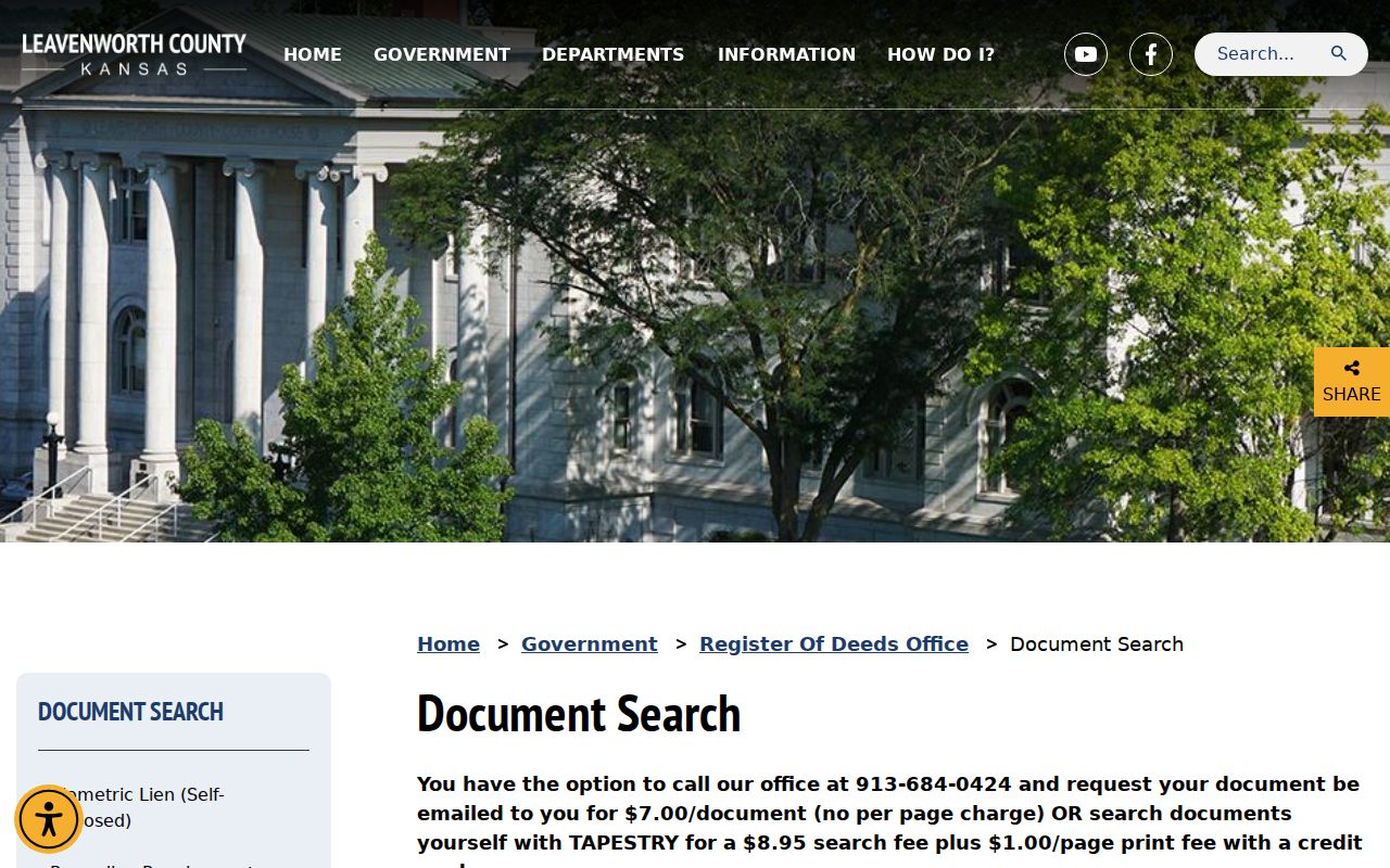
Record the precise instrument and legal description. An appraisal name can lag a deed or hide an estate relationship.
Map Leavenworth Street Layers
The county GIS inventory offers parcel, ownership, ZIP, flood, school, cemetery, and city-limit material. Downloads explain why one block routes to the city while another routes to the county. They also distinguish Leavenworth from Fort Leavenworth, Lansing, and rural places in countywide results.
The mapping inventory appears below. Identify the parcel first, then choose only the layer tied to the question.
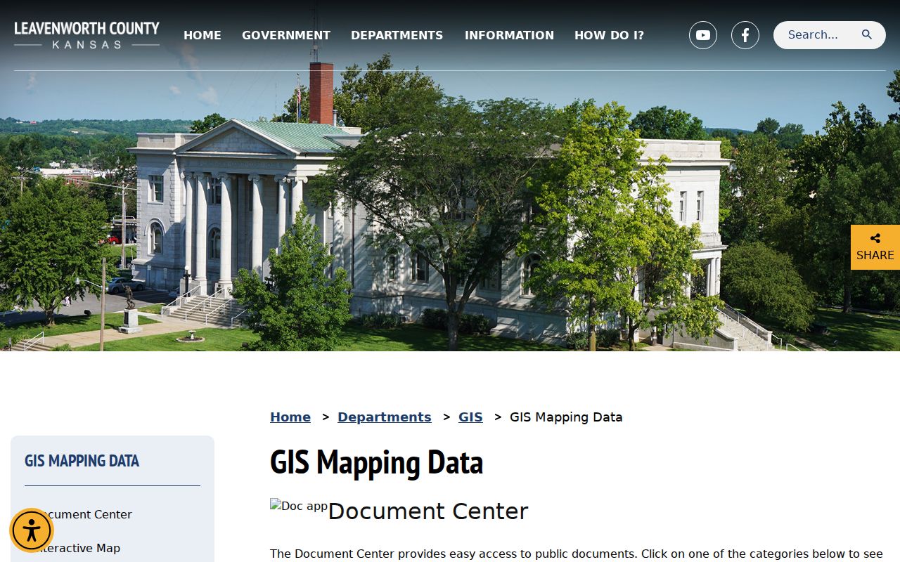
Layers explain place and jurisdiction, not occupancy. Pair them with dated records.
- Parcel
- A mapped unit of land with a county identifier.
- Situs address
- The physical site address, which may differ from the mailing address.
- Plat
- A recorded map dividing land into lots, blocks, streets, or tracts.
- Criss-cross directory
- A directory arranged by street or address. Verified Leavenworth street guides serve this role.
Leavenworth Streets and Permits
The city's monthly permit reports include a map for permits applied for since 2019 and archive links observed through 2024. Dated pages divide work into residential, commercial, mechanical/electrical/plumbing, and land-disturbance categories. A street search can date reported work, but applicant, owner, contractor, and occupant are distinct roles.
If a report lacks detail, send a focused request to the City Clerk under the Kansas Open Records Act. Give the exact address, date span, and record type. The city may charge permitted staff or reproduction costs in advance. Confirm custody first if the parcel lies outside city limits.
Note: Permit activity can date a building change, but it cannot identify every person who lived at the address.
Historic Leavenworth Street Guides
Modern portals stop where old street evidence begins. Leavenworth's first extant city directory dates to 1859. A preservation source says the 1903 directory arranged properties alphabetically and numerically by street and address. The digitized 1915 Polk volume has a Street and Avenue Guide on pages 361-445. Those guides connect an old address to named occupants, while census and newspaper records can test the match.
Research did not verify a separate local criss-cross run, so the street guides are the documented reverse-search substitute. The 1915 book separates Lansing, Bain City, Soldiers' Home, county taxpayers, and business sections. Read the heading before calling someone a city resident. Publisher runs and reel gaps belong to the Leavenworth city directories page.
Leavenworth Street Continuity Traps
No verified citywide renaming or renumbering schedule was found. A number mismatch is not proof of change. Bridge it with legal description, PID, lot and block, old maps, Sanborn sheets, and street guides. Search nearby block numbers and old name variants. A postal-city or ZIP difference may also cause a false break.
Historic districts give local anchors. North Esplanade spans four blocks and 14 residences around the original town-plat area. Arch Street follows Fackler's Addition, North Broadway follows the Western Addition, and Third Avenue was platted early in the city's history. Those sources explain development and building context, not a current resident list.
Sanborn sheets add another kind of street evidence. Leavenworth editions are documented for 1883, 1889, 1897, 1905, 1913, 1924, later updates through 1949, and a 1961 microfilm inventory. A sheet can show a building footprint, construction material, use, lot line, and nearby public infrastructure at a fixed date. It does not list every occupant. Match its block and structure to a street-guide entry, then test the person in a directory or census. This method is especially useful when an old number seems to shift but the lot shape and neighboring buildings remain recognizable.
Leavenworth Street Voter Limits
Kansas VoterView is designed for an individual search using first name, last name, and date of birth. A result may show registration address, party, mail-ballot status, polling place, and voting history, but it does not provide a public export of everyone on a street. County voter books and active lists may be inspected under K.S.A. 25-2320 with supervision, costs, redaction, and statutory use limits. The statewide request form also carries certifications and timeliness warnings.
Use voter information only as dated registration evidence. A registration address does not establish every person in a household, and Kansas Safe at Home or election nondisclosure procedures may protect an address. If street-level research genuinely requires a list, ask the Leavenworth County Clerk about the lawful inspection or copy route instead of trying to bypass the individual portal.
Leavenworth Street Directory Limits
A street directory cannot name everyone inside a home. Parcel and deed systems concern land interests. Tax systems concern accounts. Permits concern work. VoterView requires first name, last name, and date of birth for an individual search, while broader voter-list access is supervised and limited by Kansas law. Protected-address procedures may mask information.
Utility customer lists and driver-address data are not substitutes. Mailing addresses, exemptions, registration, and directory entries support dated inferences, not claims about every household member. Confirm any key record with its custodian.
Lawful use. Use Leavenworth address records for personal research, family history, property questions, and civic understanding. Never use them to stalk, threaten, harass, or harm anyone.