
Leavenworth ZIP Directory Coverage
The official county map shows postal geography across all of Leavenworth County, not a city resident roll. Only 66048 is the main City of Leavenworth postal area. Fort Leavenworth and Lansing have separate postal identities, while three additional labels provide county-edge context.
| ZIP | Area covered | Post office or source | Record-search note |
|---|---|---|---|
| 66048 | Leavenworth city/main postal area | USPS Leavenworth, 330 Shawnee Street | Primary city ZIP |
| 66027 | Fort Leavenworth | USPS, 311 Kearny Avenue | Separate federal installation |
| 66043 | Lansing | USPS, 617 Holiday Plaza | Adjacent county city |
| 66020 | Easton | 2025 county ZIP map | County context, not city |
| 66002 | Atchison-area edge | 2025 county ZIP map | Validate the address |
| 66097 | Winchester/Jefferson-area overlap | 2025 county ZIP map | County-map context |
No official ZIP split history or per-ZIP resident count was located. Do not infer either from the map.
Leavenworth ZIP Code 66048
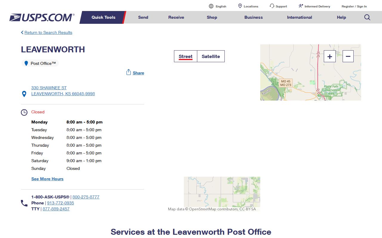
The USPS Leavenworth location page confirms the main office's 66048-9998 postal identity and lists nearby Fort Leavenworth and Lansing locations. That makes USPS the right custodian for a delivery label, but not for municipal boundaries or household membership.
The captured location page provides the official postal starting point.
Use 66048 to narrow a postal search. Then test the physical parcel against county GIS and city limits before describing it as a City of Leavenworth address.
Fort Leavenworth ZIP Stays Separate
ZIP code 66027 belongs to the Fort Leavenworth installation. It appears beside 66048 in local postal results, but the fort has federal military, cemetery, and institutional record paths that differ from ordinary city and county records.
This distinction also appears in historical sources. The 1915 Polk directory separates Fort Leavenworth and the National Military Home from city, Lansing, Bain City, county taxpayer, and business sections. Read the section heading before assigning a historic person to the city.
Leavenworth ZIPs Cross Record Borders
Countywide search results can include Lansing's 66043, Easton's 66020, and edge labels 66002 and 66097. Those places belong in the Leavenworth ZIP code directory because the official county map shows them, not because they are all city ZIP codes.
The Leavenworth County GIS office supplies maps, custom PDFs, shapefiles, and support.
Overlay ZIP, city-limit, parcel, school, flood, and other layers as separate facts. A postal label should never silently replace a municipal boundary.
Find Leavenworth Residents by ZIP
No inspected public portal exports a complete list of residents by ZIP. The county tax search accepts ZIP with address components and returns tax-account information, not every person at an address. GIS offers a ZIP layer and downloads, while VoterView uses a residential address for polling-place search rather than a ZIP-only list.
- Validate the delivery label in the official USPS lookup.
- Place the site in county GIS and turn on ZIP and city-limit layers.
- Record the situs address, PID or QRID, subdivision, lot, and block.
- Search the county tax portal with ZIP plus street details for a tax account.
- Move to the Leavenworth directory by street once the exact address is known.
This path narrows geography without claiming that tax ownership, voter registration, or a postal label equals a full household list.
Verify a Leavenworth ZIP Address
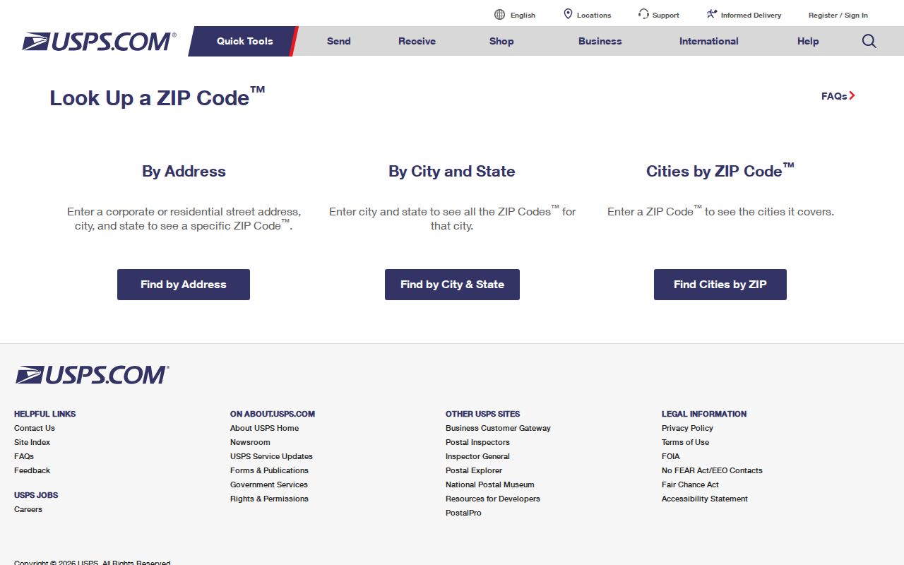
The USPS ZIP Code Lookup offers Find by Address and Find by City and State. Its form accepts address, city, state, and ZIP details. Use it after the physical site and municipality are known.
The captured lookup shows the official postal search surface.
A USPS result validates delivery formatting. It does not decide which government keeps deeds, permits, court files, or other records for the person or parcel.
| Field | Input | Purpose |
|---|---|---|
| Address | Street line | Find ZIP for one delivery point |
| City and state | Place and Kansas | Find postal codes for a named place |
| ZIP | Five digits or ZIP+4 | Confirm an existing postal label |
Leavenworth ZIP Portal Limits
The county tax portal visibly combines ZIP with last or company name, tax ID, tax year, address number, prefix, direction, and street. The public assessor markup inspected during research did not expose a stable ZIP-wide field. Do not claim that its registered or subscription version supports one.
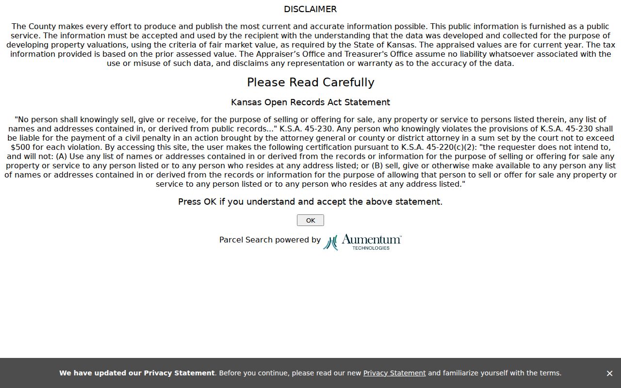
The parcel-search disclaimer explains that the data was developed for valuation and carries Kansas use restrictions.
Appraised value and prior-year tax data can lag real-world changes. Confirm ownership through the recorder when the legal record matters.
| Local tool | ZIP input | Useful output | Limit |
|---|---|---|---|
| County tax search | Visible ZIP field | Tax account | Not a household roll |
| County GIS | ZIP layer/download | Mapped geography | No resident list |
| VoterView | Residential address | Personal registration lookup | No ZIP export |
| USPS | Address or city/state | Postal validation | Not city limits |
Leavenworth Parcel IDs Outlast ZIPs
County GIS uses a formatted PID such as 077-36-0-20-20-002.00-0, but its search string removes punctuation. A QRID begins with R and contains four to six digits. These parcel keys, plus lot, block, subdivision, section, township, and range, can bridge a mailing change.
The County Survey Office keeps road records from 1855 forward, 11 volumes, and 2,181 section corners.
For a disputed old address, email a location request to the survey office, check plats, and use the Register of Deeds for ownership documents. No verified countywide renumbering schedule was found.
Leavenworth ZIPs Versus City Limits
A ZIP is a delivery area, while a city limit is a legal municipal boundary. The county map can display both, but they remain different layers. Fort Leavenworth, Lansing, and rural county places make that distinction especially important here.
- ZIP code
- A five-digit USPS delivery area, not a municipal boundary.
- ZIP+4
- A more precise postal add-on for a delivery segment.
- PO-box ZIP
- A code assigned primarily to post-office boxes.
- Unique ZIP
- A postal code assigned to one high-volume institution.
- Carrier route
- A mail-delivery path that may cross other map boundaries.
Historic directories add one more label: the address printed in that edition. Pair it with maps, PID, legal description, and the modern postal result instead of forcing old and new labels to match.
Four Leavenworth Address Labels
The same property can carry four useful labels. A situs address names the physical location in GIS and appraisal data. A mailing address tells the county where to send tax correspondence and can differ from the site. A legal description identifies land through lot, block, subdivision, or metes-and-bounds wording. The postal address is the USPS delivery form, including its ZIP code.
Keep each label in a separate note. Start with the situs address, use the postal label for delivery validation, and carry the PID and legal description into deed or plat work. This prevents a changed mailing city from creating a false break in the parcel trail.
Historic Leavenworth ZIP Search Traps
Postal codes are modern evidence, so old city directories and Sanborn maps must be searched with their printed addresses. Leavenworth's 1903 directory introduced numerical street organization, and the 1915 street guide can bridge a historic number to an occupant. No official countywide street-renumbering or ZIP-realignment schedule was located.
When an old number fails, compare the directory street guide, Sanborn sheet, historic-district page, lot and block, and Survey Office road records. North Esplanade, Arch Street, North Broadway, Third Avenue, Downtown, and the Historical Industrial district preserve distinct plat context. A stable legal parcel clue is stronger than a guessed modern ZIP.
Build a Leavenworth ZIP Map Check
The County GIS quick guide documents a practical address workflow. Enter an address such as the guide's 300 Walnut Street example in the upper-right search bar, choose the geocode result, click the parcel, and open View Additional Details. The result can supply a PID, QRID, site address, acreage, subdivision, lot, block, and links to related parcel material. Those fields describe the parcel, not everyone who may receive mail there.
Turn on the ZIP Code and city-limit layers separately. County GIS also offers downloadable ZIP, parcel, ownership, flood, school, cemetery, and other maps. A person researching 66048 can therefore see whether the parcel is within the municipal line and which other mapped districts apply. If an address appears near Fort Leavenworth or Lansing, retain the installation or city label shown by the authoritative layer.
GIS staff work from the courthouse basement and can prepare custom PDFs or provide shapefiles and CAD data. That access route matters when the public viewer fails, a layer is hard to read, or a boundary question needs a clearer map. For a survey or historic road issue, the Survey Office accepts a location request. Plats are available through the county plat portal, while ownership documents belong with the Register of Deeds.
Route Leavenworth Records After ZIP
Once the ZIP code directory narrows the place, send the question to the custodian that owns the record. The Appraiser and tax portal handle valuation and tax-account data. County GIS places the parcel and its mapped layers. The Register of Deeds holds deeds, mortgages, liens, plats, and easements. City permit reports cover municipal building activity since 2019, with detailed files available through the City Clerk request route.
A postal result does not transfer authority between these offices. An address carrying 66048 can still require a county deed search, a city permit request, and USPS validation for three different facts. Fort Leavenworth creates a separate federal layer, and Lansing remains its own city even when it appears in a Leavenworth County result. Record the source, date, geographic scope, and label each time. That short audit trail prevents a countywide finding from being described as a City of Leavenworth resident fact.